One database for every subsurface project you've ever run
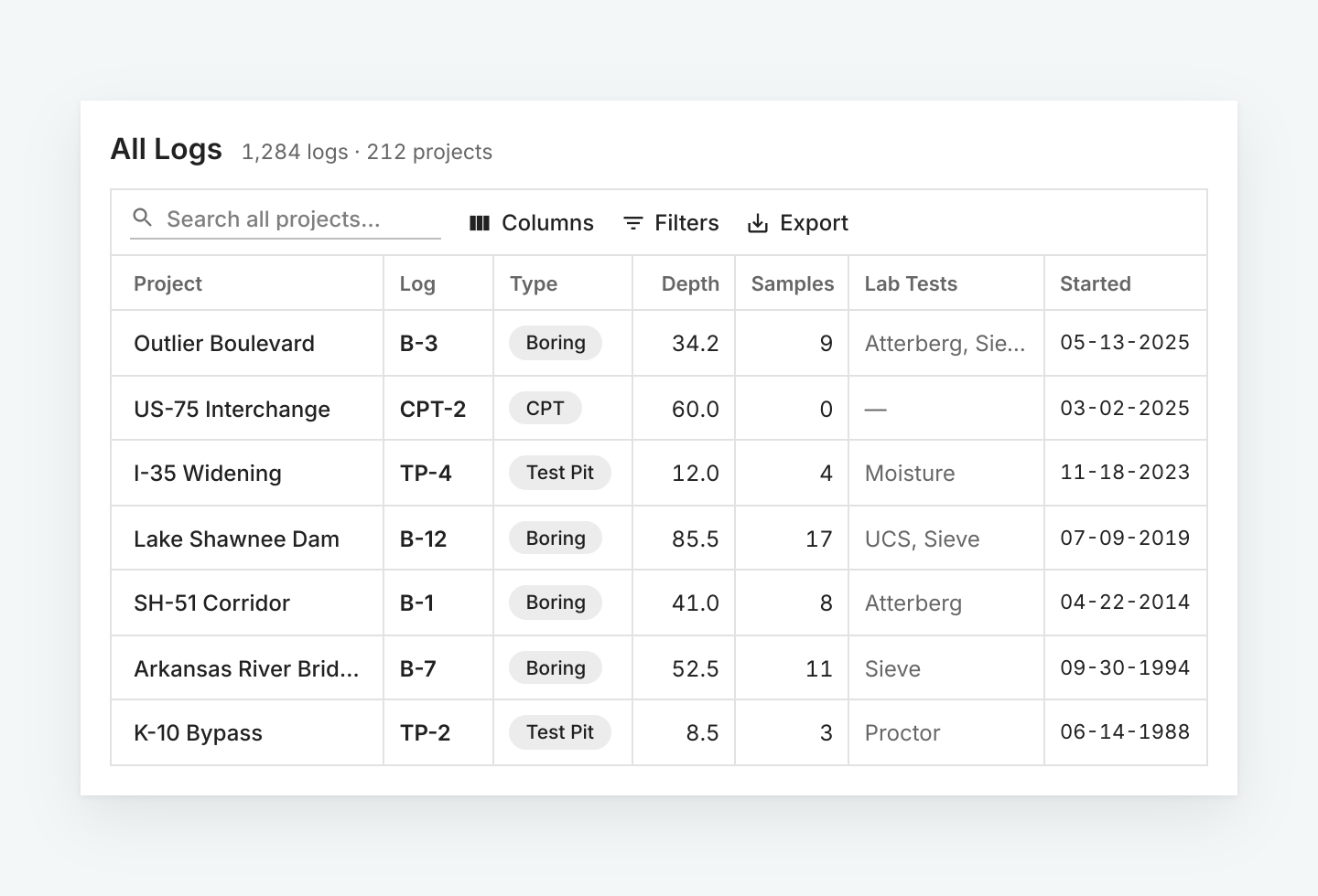
Every boring, test pit, CPT, and lab result lives in the same standardized database. Map it, query it, or hand it off years after the project closes.
What lives in the database
Geolocation
WGS84 Lat/Lon, state coordinate planes, thousands of EPSG codes, even support for custom coordinate systems and conversion to WGS84.
2D and 3D visualization
Cross sections, profiles, and subsurface models built directly from the same database your logs live in.
Configurable standards
Soil and rock descriptions are controlled centrally, so a log from one office reads the same as a log from another.
Cross-project search
Query across your organization's entire historical database at the project, log, or even the sample level.
Your data lives in BoreDM
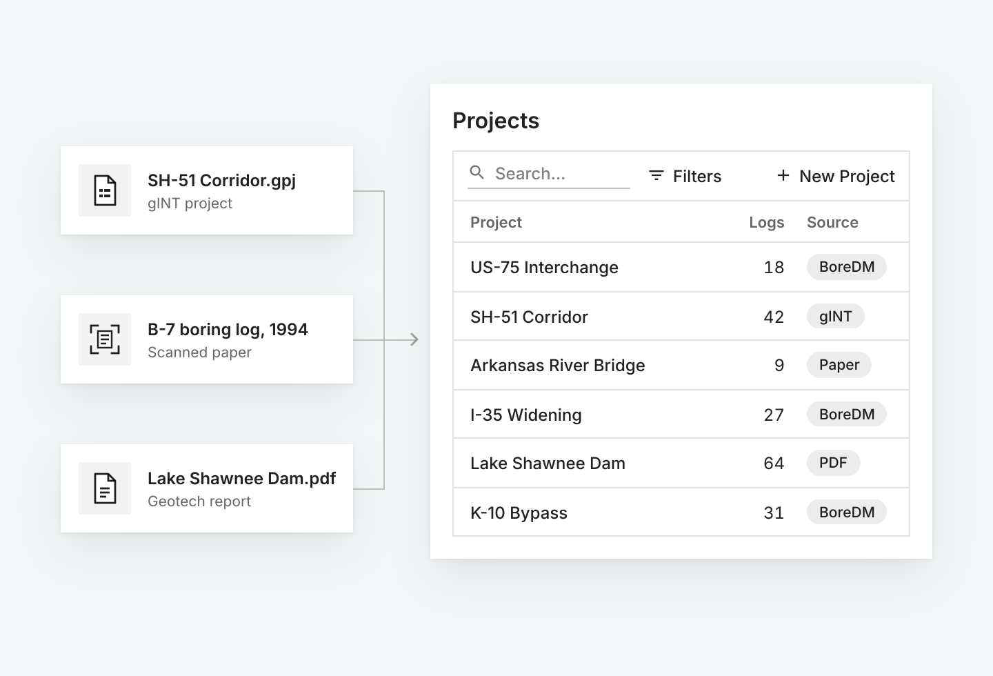
A centralized database is only as good as its data and structure. BoreDM imports gINT files directly, and our migration service consolidates paper, PDF, and legacy gINT archives into the same database as your active projects.
Suggested for you
See your own data in one place
Book a walkthrough with our team. After the demo we will set up a trial environment loaded with your project data.